


4,9 km | 6,4 km-effort

Tous les sentiers balisés d’Europe GUIDE+


Gratisgps-wandelapplicatie
 SityTrail
IGN / Geografische instituten
SityTrail World
De wereld gaat voor u open
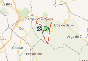
Tocht Te voet van 9,8 km beschikbaar op Norte, Viana do Castelo, Arga (Baixo, Cima e São João). Deze tocht wordt voorgesteld door SityTrail - itinéraires balisés pédestres.
Trail created by Valimar - ComUrb.
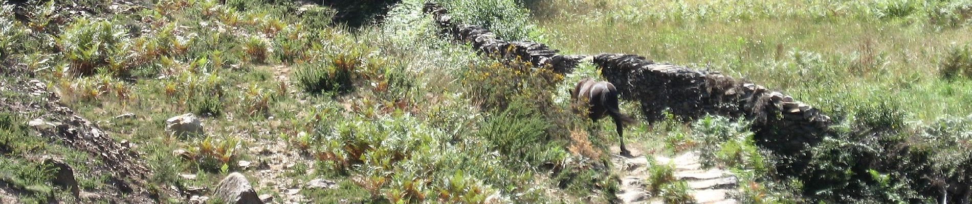
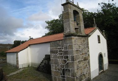
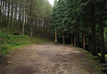
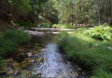
 - Trilho da Pedra Alçada - Photo 1")
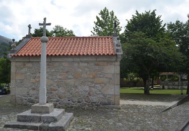
 - Trilho da Pedra Alçada - Photo 2")
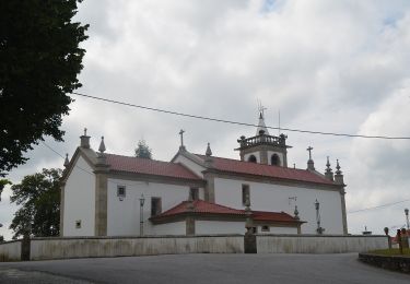
 - Trilho da Pedra Alçada - Photo 3")
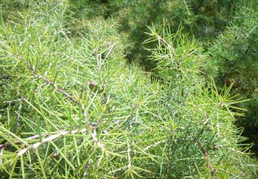
 - Trilho da Pedra Alçada - Photo 4")
 - Trilho da Pedra Alçada - Photo 5")
 - Trilho da Pedra Alçada - Photo 6")
 - Trilho da Pedra Alçada - Photo 7")
 - Trilho da Pedra Alçada - Photo 8")
 - Trilho da Pedra Alçada - Photo 9")
 - Trilho da Pedra Alçada - Photo 10")
Te voet
Te voet
Te voet
Te voet
Te voet
Te voet